IVS - Sensor Data Management Platform for Automated Driving
Validate your perception, fusion, and path-planning algorithms by efficiently managing petabytes of test-drive data.
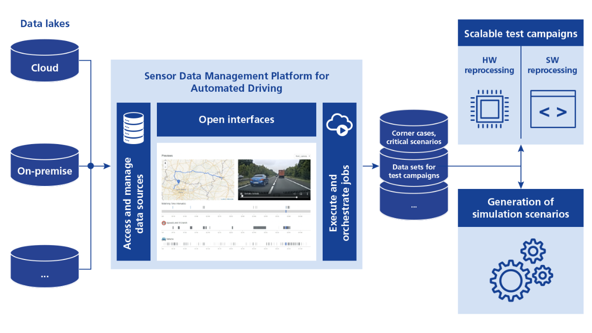
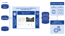
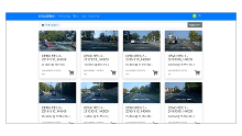
IVS is an open, cloud-based software platform that allows you to analyze, preview, and tag test-drive data that is stored in the cloud, on-premises, and in globally distributed storage architectures. Via an intuitive user interface, you can easily find and select relevant data and create dedicated data sets for your test campaigns.
- Automatically tag, analyze, and process petabytes of test-drive data
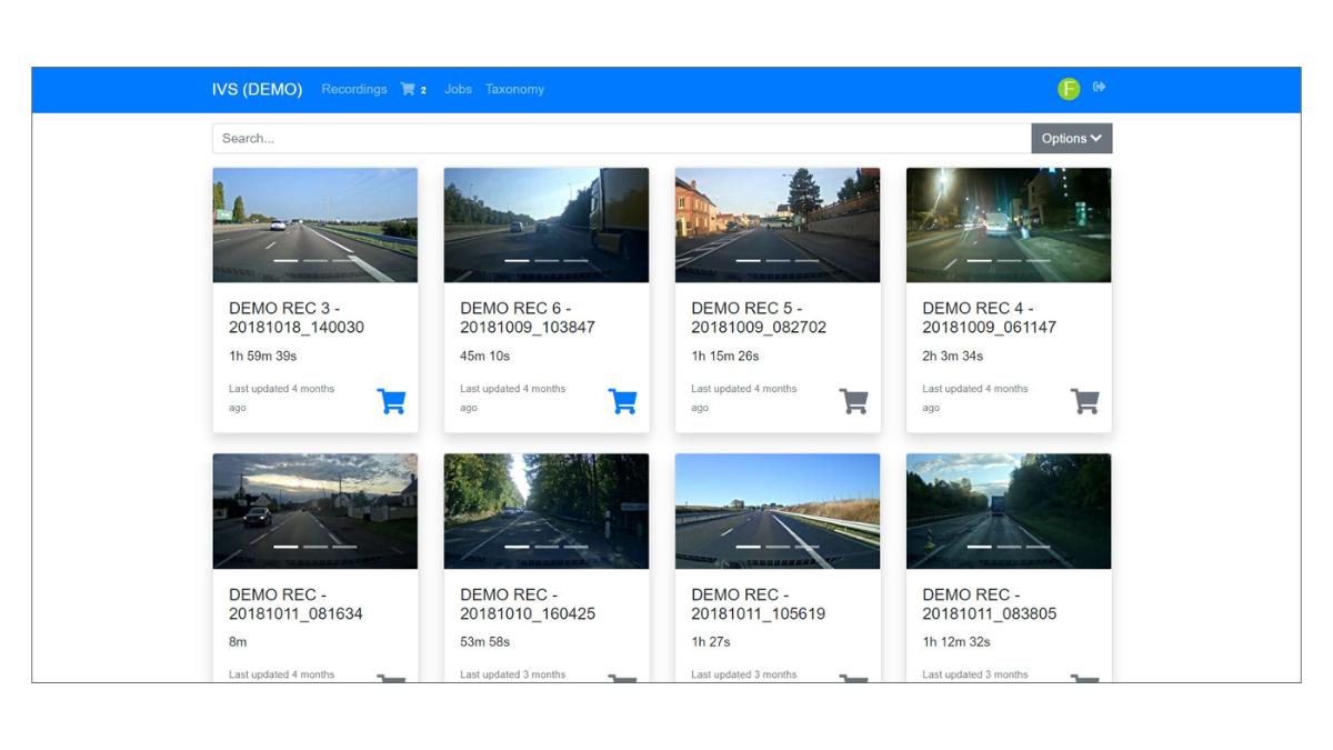
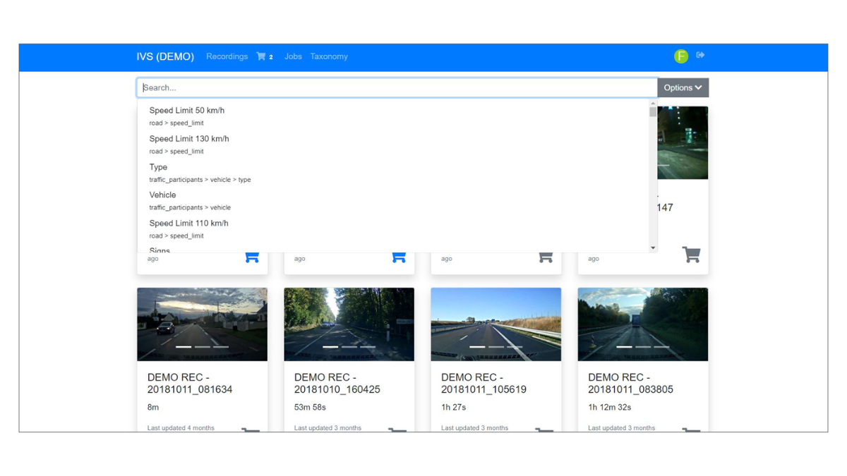
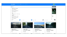
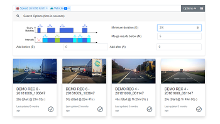
- Find, select, and preview globally distributed data and create data sets
- Integrate own jobs via open APIs and easily interface existing infrastructures and tools


Application Areas
Petabytes of real-world data are recorded during the development of automated vehicles, often in different regions around the world, and the costs for managing the data in public, hybrid, or private clouds are immense. A key challenge is to access, analyze, and structure the data that is stored in one or multiple data centers and to automatically identify relevant events. It is important to understand what data has already been recorded, what is redundant and could potentially be disposed of or stored in lower-cost storage options, and what data is still needed to test perception, fusion, and path planning algorithms.
The recorded data is actively used during the development and testing of new software releases. For this, developers or IT or test engineers filter the data and create customized data sets according to test objectives and key performance indicators (KPIs). Typically, automated workflows are used to efficiently extract ground truth, perform scalable reprocessing tests, or generate simulation scenarios for further testing in the virtual world.
Key Benefits
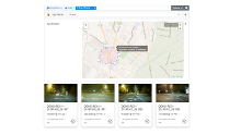
The IVS Sensor Data Management Platform enables you to simultaneously access and manage all your test-drive data stored in data centers worldwide. Understanding your data, reducing data transfers, and processing data with best-in-class performance saves you time and money when developing algorithms for automated driving.
Users are able to:
- Immediately access and share the data from anywhere
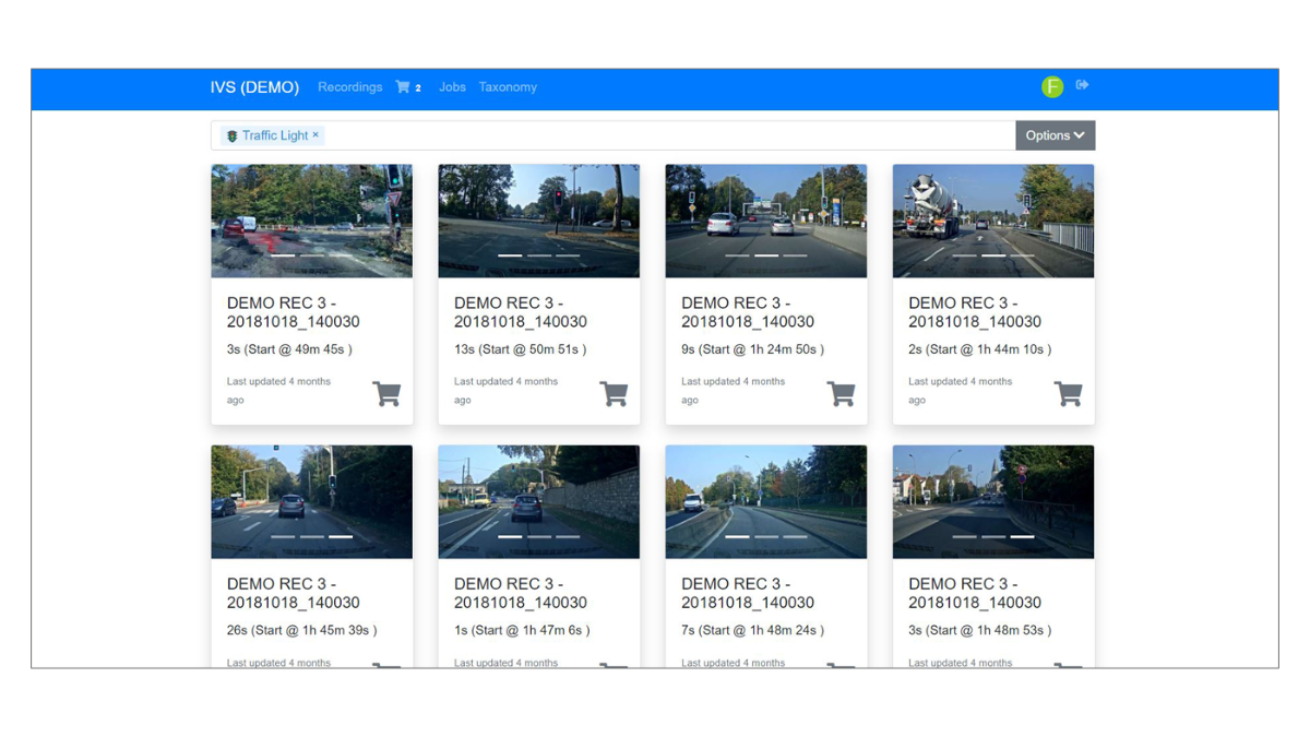
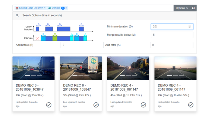
- Automatically find scenarios including dynamic driving maneuvers, e.g., using AI-based detectors for cut-ins, cut-outs, overtaking maneuvers, lane changes, and critical scenarios
- Select and preview data without copying the actual recordings
- Analyze real and simulated test drives, create statistics, and classify redundant and relevant data
- Filter data and create data sets
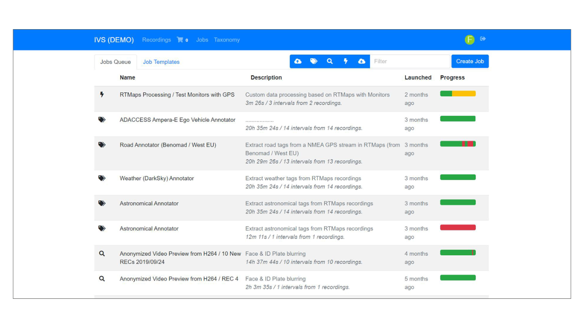
- Execute data processing task and automate workflows
- Interface existing cloud infrastructures and tools via open APIs
- Develop own jobs using templates, guided workflows and the RTMaps graphical development environment
- Simultaneously perform tasks by multiple users and independent of location
Integration in dSPACE Solution for Data-Driven Development and Validation
IVS is tightly integrated in the dSPACE tool chain for data-driven development and validation. For example, the consistency of data recorded with the dSPACE AUTERA Data Logging system can be validated using dedicated jobs, and the dSPACE Data Replay solutions for software and hardware reprocessing are tightly interfaced to the Sensor Data Management in IVS.
In addition, IVS is seamlessly coupled to the SIMPHERA Data Replay Testing Solution that enables users to manage tests comprehensively, including data sets, KPIs, systems under test, test reports, and dashboards.
| Functionality | Description |
|---|---|
| General |
|
| Requirements |
|
| Data tagging modules and scenario detectors |
|
| Ground truth extraction |
|
| Anonymization |
|
| KPI extractors |
|
This is what our customers say about IVS
“As in many research labs and autonomous driving companies, the Queensland University of Technology measurement car generates terabytes of sensor data while driving. The difference is that the Intempora Validation Suite (IVS) has drastically improved our ability to manage and search the data efficiently and to facilitate access to specific and relevant corner cases for our project by adding bespoke algorithms to the existing labels to identify them better. When we modify the software components of our automated driving system, the sensor data management solution hosted on AWS cloud helps us extract discrepancies in already performed driving situations, allowing us to provide a broader safety analysis.”
Sebastien Glaser, Professor, Intelligent Transport Systems, Queensland University of Technology, Australia
- Data Replay dSPACE offers multiple solutions for the validation and testing of ADAS/AD perception and sensor fusion components with means of replaying recorded data or as referred to as data reprocessing, data resimulation, and data playback.
- Data Logging Our mission is to optimize data logging, enable quick responses to new iterations of training and validation and allow for very short data cycles
- dSPACE Sensor Vehicle with a Rooftop Box Collecting realistic environment data for the data-driven end-to-end development solution
Drive innovation forward. Always on the pulse of technology development.
Subscribe to our expert knowledge. Learn from our successful project examples. Keep up to date on simulation and validation. Subscribe to/manage dSPACE direct and aerospace & defense now.